When Disaster Strikes, NASA Brings the Power of Space | 2018-09-23 11:17:14 (Visits: 643 Times) |  | | Sept. 5, 2017
NASA contributed data from satellites and aircraft to track the movement of oil from the Deepwater Horizon spill in the Gulf of
NASA contributed data from satellites and aircraft to track the movement of oil from the Deepwater Horizon spill in the Gulf of Mexico in 2010.
Credits: NASA
It’s an unsung NASA program that started quietly nearly a decade ago with the promise to save lives and property worldwide.
What if the terabytes of global environmental data streaming down every day from NASA’s fleet of Earth-orbiting satellites for researchers studying the intricacies of our planet could be harnessed to aid the people that are hit by major natural disasters whenever and wherever they occur?
It was an ambitious challenge well suited to NASA’s strengths – collecting and distributing complex global data from space-based instruments to scientists around the world – but it also pushed the agency outside its comfort zone to work with an unfamiliar community that needed localized information very quickly in ready-to-use products like maps and alerts. At the same time global networks of relevant observing systems were growing, access and sharing of information has increased, and the capacities of users beyond the scientific community to interpret and use the new data to inform decisions has advanced.
Over the last year and a half the NASA Earth Science Disasters Program has ramped up to build the infrastructure and the personal relationships and institutional partnerships needed to routinely deliver on that promise over the long term. That infrastructure includes forging new relationships between international, regional, and local natural disaster response agencies and other Earth-observing space agencies around the world.
This week representatives of these communities are meeting in Buenos Aires, Argentina, to advance the use of satellite and other remote-sensing data in disaster response and recovery from South America to Canada. Co-hosted by the Argentine Space Agency CONAE, the “Disaster Risk Reduction across the Americas Summit” is spearheaded by NASA with the Group on Earth Observations, a partnership of over 100 governments coordinating efforts to maximize the use of data from satellite, airborne, ground-based and ocean observation platforms and sensor networks as well as associated models and data products for the benefit to humankind.
“With this summit, NASA is taking our program to the next level to help forge relationships and share information resources critical to disaster response from early warning to recovery,” said David Green, director of NASA’s Disasters Program, part of the Earth Science Division in the agency’s Science Mission Directorate in Washington.
NASA and its partners contributed maps of damaged areas in response to the Aug. 23, 2016, magnitude 6.2 Amatrice earthquake in c
NASA and its partners contributed maps of damaged areas in response to the Aug. 23, 2016, magnitude 6.2 Amatrice earthquake in central Italy.
Credits: Leggi il Firenzepost (Creative Commons)
The week-long Summit brings together global, regional and local government agencies, United Nation organizations, Red Cross and Red Crescent societies, businesses, academic and scientific institutions and other stakeholders for discussions and work planning in regional preparedness and planning, disaster mitigation, emergency response, and recovery. The goal is to foster collaborative action and sustainable integrated efforts to reduce risk to lives, livelihoods, and infrastructure. The highlight of the summit is a disaster simulation in which attendees are presented with a fictional disaster scenario and work through the various stages of planning response and recovery activities.
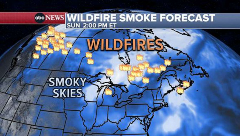
NASA’s Disasters Program supports application science and mobilizes for intensive risk events globally that spans a range of natural hazards – earthquakes, tsunamis, wildfires, floods, landslides, severe weather, winter storms, tropical cyclones, and volcanoes – plus manmade events such as oil spills and industrial accidents.
The program has capitalized on the wealth of environmental data gathered by NASA satellites over many years – in some cases decades – and the remote-sensing technology that helps scientists and other stakeholders probe the complex workings of our dynamic planet. In 2010 NASA contributed data from satellites and aircraft to track the movement of oil from the Deepwater Horizon spill in the Gulf of Mexico. In 2015 NASA produced maps of vulnerable areas and damage caused by the Gorkha earthquake in Nepal. In 2016 NASA responded to nearly 100 events, enabling coordination and information support to a wide range of global incidents.
Early on, NASA provided its expertise to U.S. and international disaster management agencies on an ad hoc, case-by-case basis. But in 2016, Green was brought on to expand this capability to a permanent, ongoing service to other agencies. Dedicated teams of Earth-observation disaster specialists were created at seven NASA centers to respond to events in real-time and work with partner agencies to get them the information they needed.
NASA helped to organize the “Disaster Risk Reduction across the Americas Summit” this week in Buenos Aires, Argentina, to advanc
NASA helped to organize the “Disaster Risk Reduction across the Americas Summit” this week in Buenos Aires, Argentina, to advance the use of satellite and other remote-sensing data in disaster response and recovery from South America to Canada.
Credits: NASA/Andy Parks
“Our program is very much like a think tank with the technical expertise and strong relationships that we draw on to provide useful products to disaster managers,” said Green. “When disasters occur, our researchers become providers and distributors of images, data, and damage assessments.”
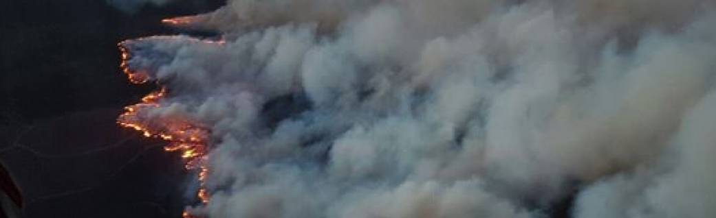
This year alone, NASA’s Disaster Program has provided rapid-response information for the extensive forest fires in central Chile, wildfires in South Africa (pictured above, photo courtesy of the South Africa Red Cross Air Mercy Services), and mudslides in Colombia. The program is currently contributing to the disaster response efforts of Hurricane Harvey in Texas and Louisiana, coordinating with federal and state agencies including the Federal Emergency Management Agency (FEMA), the U.S. Coast Guard, and the National Oceanic and Atmospheric Administration (NOAA).
Last Updated: Sept. 14, 2017
Editor: Brian Dunbar
Tags: Benefits to You, Earth, Hazards
|
| |


.png)